


20 km | 30 km-effort


User


FREE GPS app for hiking
 SityTrail
IGN / Geographical institutes
SityTrail World
The world is yours!
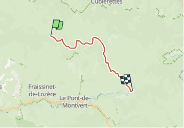
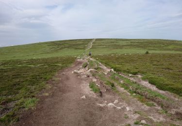
Trail Walking of 17.4 km to be discovered at Occitania, Lozère, Pont de Montvert - Sud Mont Lozère. This trail is proposed by peterschelfaut.
Belle étape relaxe jusqu'un point superbe pour faire un bivouac: 'le pont du Tarn'
Walking

Walking

Electric bike
On foot
Walking
Walking
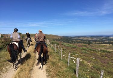
Equestrian

Walking
Walking